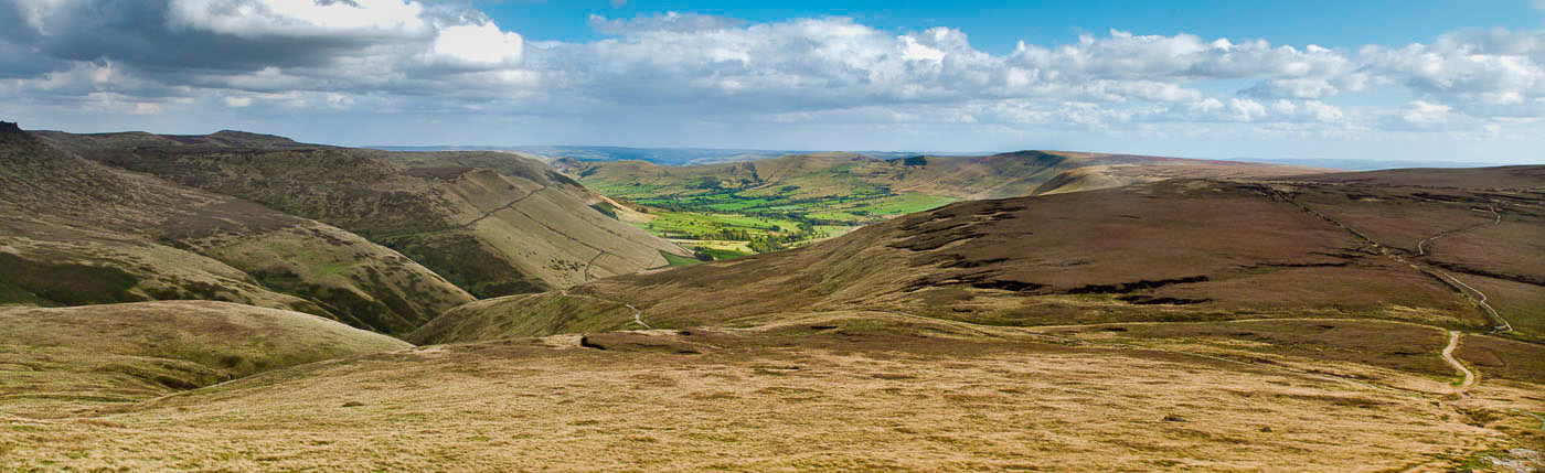
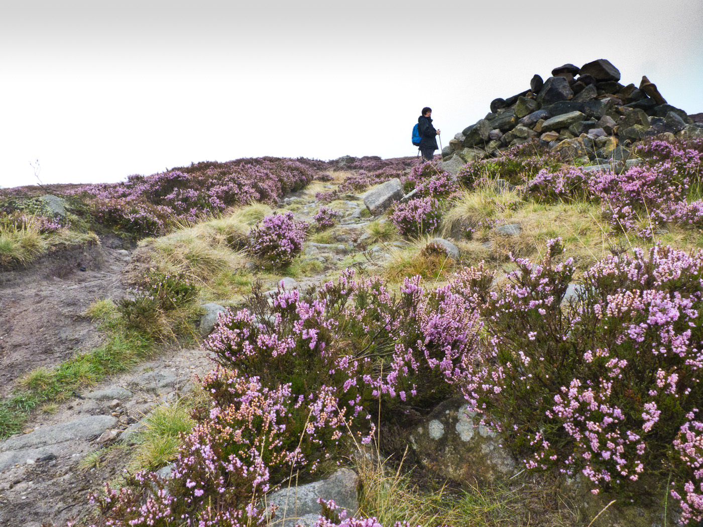
Friday, July 6, 2012

Peanmeanach Walk


OS Map: 1:50,000 Landranger 40 Loch Shiel

Start Grid Reference: NM 742 836

Walk distance:  6.5 miles

Date walked: 27th May 2012

Time: 4.5 hours approximately with a long lunch

Route:  Taken from Walks - Mallaig and Ardnamurchan (publ. Hallewell - www.pocketwalks.com) available from Amazon.  


View Peanmeanach Walk in a larger map


At the end of May and the beginning of June, we spent a great week just outside Acharacle in a self catering lodge (www.mingarylodges.co.uk).  It was a great place for wildlife - Pine Martens in the garden - but also a great location for walking.  All the walks we did were taken from the same publication, this and the next few posts will describe some of them.


This walk was undertaken on a very hot day in May.  It is not very long but with the weather conditions, it  was more arduous than we thought it would be.  The walk gives magnificent views over the Sound of Arisaig, Loch Nan Uamh and the islands beyond.  Inland, there are views of and the walk goes by Loch Doir a' Ghearrian.  The destination of the walk is Peanmeanach a deserted settlement by the sea.


Railway Bridge
The path is crossed by one of the most beautiful train lines in the country - some say the world.Crossing it does not present any difficulty at all, if you are walking that is.


After a period of walking through woods, the walk opens out to reveal a wonderful vista.


View over Loch Nan Uamh

View over Loch Doir Ghearrain
Before reaching the abandoned settlement, the path goes by the edge and through another wood.  The approach to Peanmeanach is through a flat area of marsh grass.


Approach to Peanmeanach


At the coast, there are ruins of the old Peanmeanach settlement and a bothey, which can be used as accommodation.  It is also a great place for camping.

Peanmeanach Ruins.
Peanmeanach Coastline
Great place for camping

Although it was very hot, this was a very enjoyable walk.  I am not a fan of there and back walks, but to complete this one, I'm afraid you will have to retrace your steps back to the car.  However the hardship is not great when you have repeat the experience of these wonderful views.


Thursday, June 14, 2012

Embsay Crag Walk


OS Map: 

Start Grid Reference: GR:  SE 010 538

Walk distance:  7 miles

Date walked: 28th April 2012

Time: 3 hours approximately

Route: Self planned.


View Embsay Crag Walk in a larger map


This walk starts from the village of Embsay (the home of the Embsay Steam Train) a short distance from Skipton.  This is the first time I have walked on Embsay Moor and was really impressed with the Crag and the moorland walk.  In the main the walk is fairly straight forward, although there are a couple of places little more care in following the route needs to be taken.  These are pointed out on the map.

Start of the Walk

The walk starts by going through the field (with sheep on our walk) at the back of the car park.

View towards Embsay Crag

There are two features that dominate this walk the Crag and the Embsay Moor Reservoir.

View over Embsay Moor Reservoir from Embsay Crag.

Past the Crag, the walk takes you up onto the moors.  This is one of the places where care needs to be taken (see map Waypoint 6).  These moors are grouse shooting moors and, before turning left from the broad track, you will find a two turf-roofed buildings with tables and chairs for the shooters.

Shooting huts

Now the walk follows the track to the shooting buts, beyond which the path becomes less distinct, but it is not difficult to reach the path by the reservoir.  By now the clouds had cleared somewhat and we had more great views of the Crag and the Reservoir.

Embsay Crag over Embsay Moor Reservoir

This walk was fitted in to coincide with a visit to Skipton.  It was an area I was unfamiliar with, being more familiar with the Dales further north, so it was a surprise that it was such an enjoyable walk and an area I will certainly return to.


Tuesday, April 24, 2012

Standedge - Windy Hill Circular Walk


OS Map: South Pennines, Code OL21 (1:25000)

Start Grid Reference: SE 183 095

Walk distance:  12 miles

Date walked: 15th April 2012

Time: 4.75 hours approximately

Route: Self planned.

Most of the this walk is on the OS Map OL21 apart from the first few hundred yards, which is on OS Map OL1.  However, this part of the walk is very easy to negotiate without a map or at least with the google map.  It starts from the car park by Brun Clough Reservoir.  It is a free car park so no change is required.


View
The waypoints on the map have 10 figure grid references for use with GPS devices

This walk gives you a real moorland experience with views over Saddleworth and Lancashire.  This landscape needs to be experienced, I have never really been able to capture it in photographs.  Therefore for this walk there are fewer photos than usual.

Views from Standedge


Another view from Standedge
Not all of the walk is on the moors.  The middle part drops down to an area with many reservoirs.  Piethorne Reservoir is particularly picturesque with a Lancashire Wildlife Trust's reserve in the wood on its northern shore.

Piethorne Reservoir

Norman Hill Reservoir


Just beyond the telecommunication masts on Windy Hill the walk joins the Pennine Way which leads you all the way back to the car park by Brun Clough Reservoir.  Unfortunately there are no refreshments at the car park but there are two pubs, the Great Western and the Carriage House, a few hundred yards along the A62 in the direction of Huddersfield.

Monday, April 23, 2012

Win Hill Circular


OS Map: Title – The Peak District – The Dark Peak, Code OL1 (1:25000)

Start Grid Reference: SK 171835

Walk distance:  6.8 miles

Date walked: 21st September 2011

Time: 5 hours approximately


Route: Taken from Walking in Derbyshire by Elaine Burkinshaw published by Cicerone

I first came to the Dark Peak in 1965, when I experienced the beautiful Lose Hill, Mam Tor, Lord's Seat ridge walk and the remote Kinder plateau.  That was the first time I saw Win Hill in the distance, but until this walk had never reached its summit.

The walk starts from the car park in the middle of Hope, there is a small charge so change is needed.


View Win Hill Circular in a larger map

The walk takes the road along the Edale Valley, then leaves it to cross the River Noe and go under the railway.  The path eventually leads to Titchwell Farm.  Following the edge of the wood the path opens up to reveal views of the Vale of Edale.
View from above Titchill Farm
View along the Vale of Edale

Lose Hill - Mam Tor Ridge


Above Titchill Farm the path actually walks away from Win Hill before turning back on itself to lead you to its 'peak'.  Only 426m high it seems higher and on this day in September it was extremely windy.

Approach to Win Hill

Trig Point on top of Win Hill

The walk takes you down from the hill, through the village of Aston to Hope Railway Station, where down the line you are rewarded with more views of Lose Hill.


View from Hope Station
The last bit of the walk takes you past the remains of the Navo Roman Fort.  I think they are just a few stones near this stile.


Site of the Navo Roman Fort.


The walk ends back at the car park, where you will be able to spend some time wandering around Hope Church.


Hope Church


Back in 1965 having completed my first walk in and around Edale Valley (30 miles), we stopped at Hope for a plate of beans on toast and a cup of tea.  That cafe is no longer there, but there are several more to reward yourself for completing a very pleasant walk.

Thursday, October 13, 2011

Grindsbrook Walk

OS Map: Title – The Peak District – The Dark Peak, Code OL1 (1:25000)

Start Grid Reference: SK 124853

Walk distance:  6.8 miles

Date walked: 13th September 2011

Time: 5 hours (including a lunch stop)


The walk up Grindsbrook Clough was the first I did in the Dark Peak back in 1965.  That walk impressed me so much that I continued walking, mixed in with cycling and running, until the present day.  I did that first walk in a new pair of Tuff boots; today its a new pair of Scarpa Terra GTX boots, well broken in this time.


The walk itself starts from the car park near the train station, goes into Edale village, more correctly known as Grinsdbrook Booth, up Grindsbrook Clough, skirts Kinder Scout, before coming down Jacob's Ladder back into the valley.


View Grindsbrook Walk in a larger map


When I first came to the village and for several years since, there was a cafe, made out of old railway carriages, selling pint mugs of tea .  The Old Nag's Head pub was a real walkers' pub, and I still have memories of wet bleeding walker's feet being soothed with a pint by a coal fire.  Both are still there, but changed to meet needs of the tea room and pub grub people of the 21st century.


The Old Nag's Head


The path to the Clough has changed too.  It is no longer a muddy path, but a stone one.


Path to Grindsbrook Clough


Once the bridge across the Golden Clough is crossed the ascent up Grindsbrook begins.


Bridge over the stream at Golden Clough


Now Grindsbrook can be enjoyed.


The final reaches of the Clough


View down Grindsbrook Clough


The cairn at the top of Grindsbrook 


There are no pictures of Kinder Scout as the wind was too strong to take anything decent. After we joined the Pennine Way, we stopped for lunch below Swine's Back and enjoyed the views down the Edale valley.


Landscape view from Swine's Back


On this photograph the path down Jacob's Ladder can be seen winding its way down towards the valley.


Cairn at the top of Jacob's Ladder


Walking back down through Upper and Barber Booths our sunny, windy day turned to rain, but before it came the light was incredible.


Rain clouds over Lord's Seat


So we ended the walk wet, but my new boots were brilliant and my feet were dry.


Tuesday, September 20, 2011

Stanage Walk

OS Map: The Peak District, Dark Peak Area, OL1 (1:25000)

Start Grid Reference: GR SK 260830
Walk distance: 8.5 miles 
Date walked: 4th September 2011
Time: 4 hours 40 minutes (approx.) with lunch stop


View Stanage Walk in a larger map
This walk takes you to an area enjoyed by many outdoor ethusiasts: walkers (naturally), fell runners, cyclists, mountain bikers and climbers.  We started the walk on a wet and misty September day and ended it in the sun.
View over Hathersage Moor 
The walk is a fairly high level one with very few ascents or descents.  The path crosses the stream at Upper Burbage Bridge and continues along the edge of the valley.  Keep to the upper path rather than the more clearly marked lower one.  The way marks on the walk are all very obvious.  At the one in the photograph below turn left and follow the path to reach Houndkirk Road. 
Way mark 3 on Burbage Moor

Houndkirk Road is a wide track with the appearance of a bridleway.  In fact motorised transport is allowed to use it, so you might meet four wheel drive jeeps and off-road motorcycles.  The majority of the traffic though are the runners, mountain bikers and walkers you might have met earlier.

Houndkirk Hill from Houndkirk Road
At this time of year the moors were full of the very purple heather.  The turning off of the road to go alongside Lady Canning's Plantation is very obvious.
Track to Lady Canning's Plantation
After the plantation and having crossed the road, the path continues on towards Brown Edge Farm.  There are several paths that could be taken, but they all seem to end at the correct point.  The Farm is visible in the distance and you should head for this if you do feel you are lost.
The paths goes through the Farm to the road and then along the side of a stone wall on Rud Hill.  This is a permissive path leading to the moor above Redmires Reserviours. 
Redmires Reservoirs from White Stones
After the Reservoirs the path follows a track by the side of the wood to reach Stanedge Pole.


Stanedge Pole
A short distance from the Pole, with the weather brightening, Stanage is reached.  It is a magnificent edge, poplular with rock climbers and walkers.  The views up and down the edge, but there are also wonderful views into the Hope Valley and Edale.
Rock climbing on Stanage Edge

Heather Moors from Stanage

View from Stanage Edge
The path leaves the Edge to go through the heather moor to Upper Burbage Bridge and the car park.


Saturday, September 3, 2011

Ashop Edge Walk

OS Map: The Peak District, Dark Peak Area, OL1 (1:25000)

Start Grid Reference: SK 109915 
Walk distance: 8.4 miles 
Time: 4 hours (approx.)


View Snake Pass Walk in a larger map


This is a walk that takes you around the edge of that great peat plateau Kinder Scout.  The car park is on the Snake Pass (A57).  From the car park the path goes through the wood on the other side of the main road. After a short distance the path through the woods comes into the open.  It then turns back on itself to follow the stream.

Ashop Clough - the view after emerging from the wood


Looking down the clough

Towards Ashop Head
 Walking up the clough, we saw grouse on the moorland on each side and heard golden plover, but unfortunately none were seen.

At the head of the stream, at a crossroad of footpaths, the path takes the route of the Pennine Way.

View up to Kinder Scout
Our path takes the opposite direction to this, but it is a continuation of the Pennine Way.  After crossing the Snake Pass, the path continuous on the other side to another crossroads of paths.  Here it turns right back to the road.  We followed the road back to the car park.  The map shows another path on the other side of the road leading through the woods.  While we could make it out below, we completely missed its beginning.

Less than a mile down the road, the Snake Inn will provide you with well-deserved sustenance after a very enjoyable walk.